Field and office, connected seamlessly

Increased field productivity for survey and construction professionals

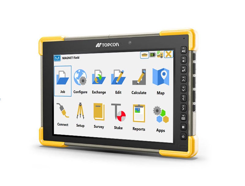
Make every aspect of your projects more connected and productive. MAGNET Field is the engine for our field productivity package and part of a complete field-to-office solution. It’s intuitive, accelerates productivity, increases accuracy, and better connects your project teams.

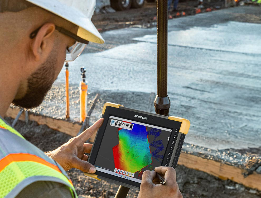
MAGNET Field is easy to learn and use, yet has the power to solve even the most complex positioning challenges. Surveyors and contractors alike use MAGNET Field to collect points, stake out road and site projects, lay out building components, and perform land surveys.


A Collaborative & Intuitive Tool

Topographic Survey

Collect points, lines, areas, cross sections, surfaces, and auto topo points. Select Map or Measurement View and even record offset shots all while within Topo Survey.

Stake Points

Whatever method of layout or stakeout you need, we have the solution for you. Point, Lines, Offsets, Roads, Surface, Slope, and Real-Time Roads are all available.

Real-Time Roads

See all the road stakeout information on one screen as you stake anywhere along the road design in real-time. Be more productive with Real-Time Roads information.

Data Exchange

Exchange data locally via USB stick, USB cable, or more commonly connect directly to your private and secure MAGNET Enterprise company account. Import and export with over 100+ industry file formats.


Upgrade your workflow

MAGNET Field is a powerful and intuitive field application software that enables you to collect survey mapping data and perform construction and road layout using total stations, levels, and GNSS receivers.

Watch this technology explainer video to learn more about MAGNET Field.

Features include

  • Intuitive user interface with a short learning curve
  • Advanced roading toolset
  • Vast library of compatible 2D, 3D and BIM file formats
  • Ability to calculate, contour, and compare surfaces
  • Surface staking with automatic Digital Terrain Model creation
  • Colorized cut-and-fill indicator and volume calculations
  • Includes field-to-office cloud connectivity via MAGNET Enterprise
  • Microsoft Bing Maps for real-time images behind your points, lines and imported design files

Stay Connected

Contact us  (855) 289-1772

Technical support  (888) 611-1209


  Send us a message

  View our locations

Autodesk Platinum Partner

autodesk platinum partner logo


autodesk partner award 2022

Join our Email List

email iconDon't miss out on important news & updates from Topcon Solutions.


© 2024 Topcon Solutions Store. All Rights Reserved.